Detailed Mapping for Your Land Development Needs
A2Z Civil Engineers Topographic Survey Drafting services converting your field-collected topographic data into precise, comprehensive, and professional maps of your property’s physical features. Designed to support land development, engineering, and construction projects across the United States, we focus exclusively on expert drafting and data processing to give your project a solid, accurate.
What We Do
Our Topographic Survey Drafting service includes the following key steps to deliver accurate and actionable results:
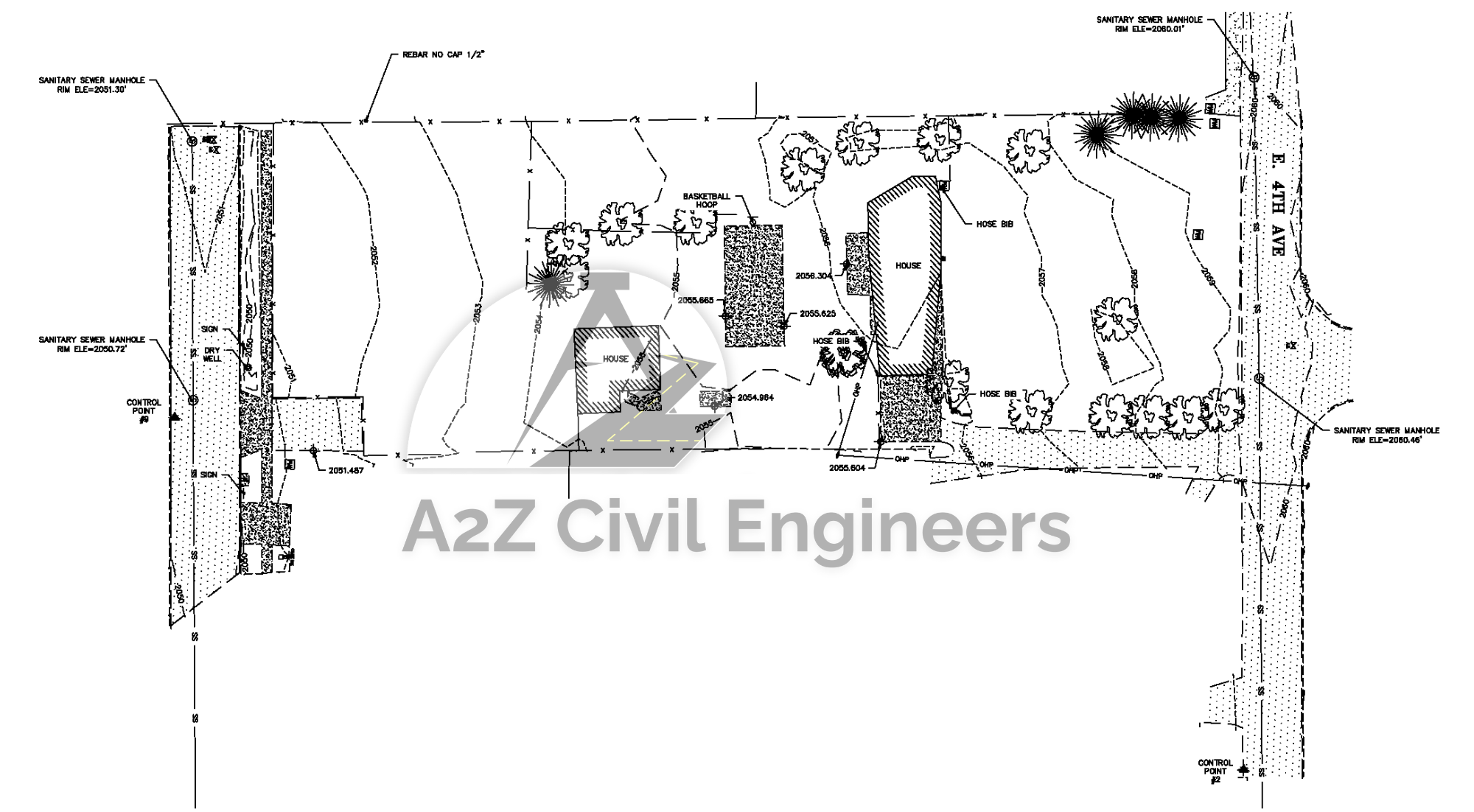
- Data Intake & Processing: We receive and organize your field survey data (from GPS, LiDAR, total stations, etc.), including elevation points, contours, and records of physical features such as trees, buildings, utilities, and water bodies.
- Terrain Analysis: We analyze collected data to identify slopes, elevation changes, and other critical features, ensuring alignment with project requirements and local regulations.
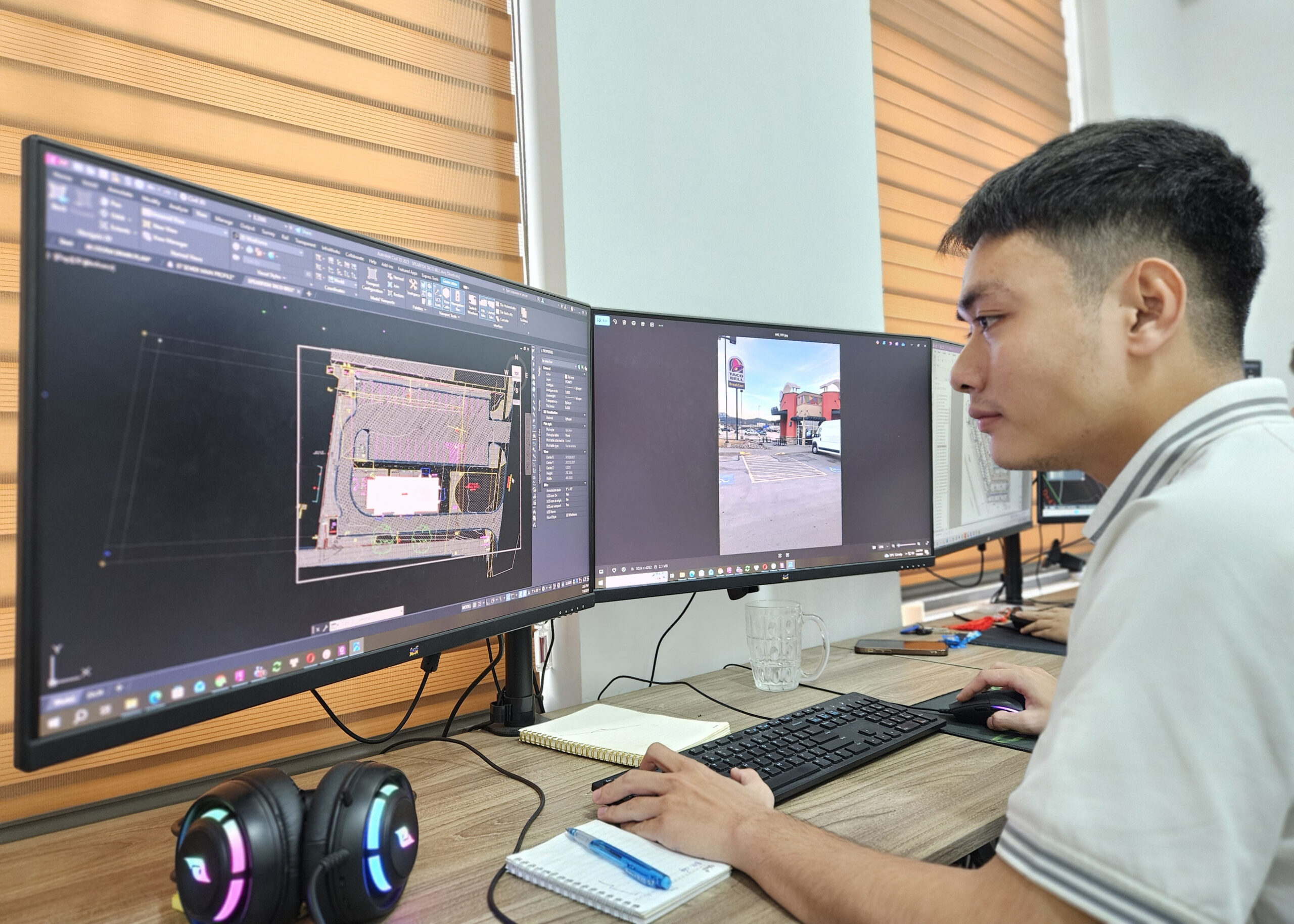
- Drafting Detailed Topographic Maps: Using industry-standard software (e.g., AutoCAD, Civil 3D, Google Earth or ArcGIS), we create precise topographic maps that depict contours, elevations, and natural/man-made features, tailored to your project’s specifications.
- Utility and Feature Mapping: We document existing utilities (e.g., water lines, power poles) and other site features to support planning, design, or permitting processes.
- Customized Deliverables: We provide topographic surveys in formats compatible with architects, engineers, and developers, including digital files and hardcopy plans as needed.
Why Choose Us?
- High Precision: Advanced technology ensures accurate elevation data and detailed feature mapping.
- Regulatory Compliance: Our surveys adhere to local, state, and federal standards, including those required for permitting and design approvals.
- Experienced Professionals: Our team of licensed surveyors and drafters brings extensive expertise in topographic mapping for diverse projects.
- Timely Results: We deliver high-quality surveys and drawings on time to keep your project on track.
- Tailored Solutions: We customize our services to meet the unique needs of developers, engineers, or property owners.
Contact Us Today
Partner with A2Z Civil Engineers for reliable, high-quality engineering and drafting support – delivered accurately, efficiently, and cost-effectively. Contact us at contact@a2zce.com or call +84-93-857-2324 for a free consultation and quote tailored to your project.